
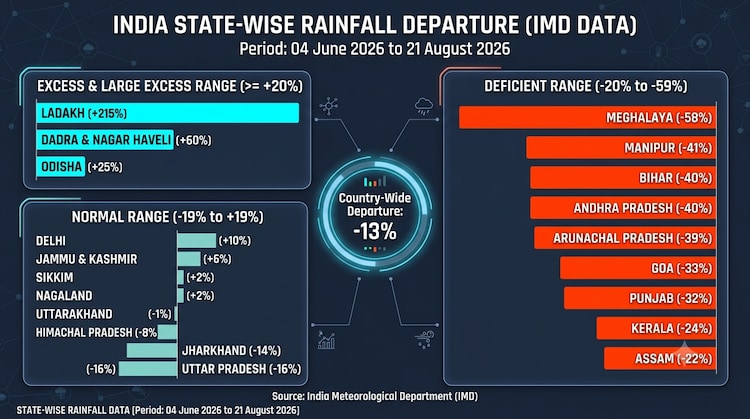
India’s southwest monsoon remains 13% below normal, but that number does not tell the whole story, the story of the significantly uneven monsoon season India has faced since the monsoon arrival on June 4 up until August 21.
Between that period, India received 537.6 mm of rain against a normal 619 mm, according to the Indian Meteorological Department (IMD)’s rainfall data.
Nearly 3 months later, some states are still carrying large deficits, including Haryana (-45%), Bihar (-40%), Andhra Pradesh (-40%), Punjab (-32%) and Karnataka (-25%).
At the same time, Odisha is 25% above normal, while Jammu and Kashmir is 6% above normal.
The uneven distribution is bound to be dragged into a spotlight as the monsoon enters its final stretch.
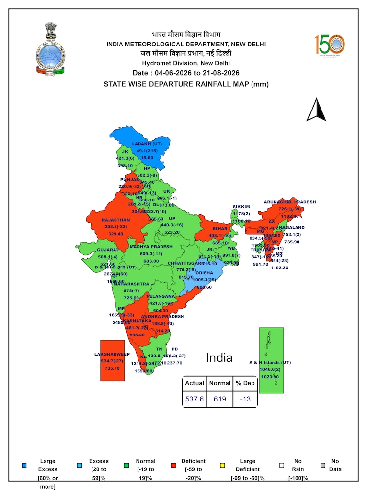
Recent rain-bearing systems have repeatedly favoured parts of central and eastern India, helping prevent the national deficit from becoming larger, but the regions far away are still dry.
ANOTHER WET SPELL IS BUILDING ACROSS CENTRAL, EASTERN INDIA
The latest weather system is keeping rainfall active over central India, while IMD expects several regions to remain wet through the coming days.
East Madhya Pradesh is likely to receive heavy to very heavy rainfall at isolated places on August 21 and 22.
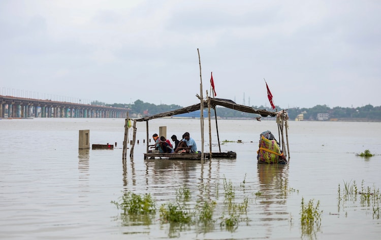
Chhattisgarh is expected to see fairly widespread to widespread rain through August 26, with isolated heavy spells.
West Madhya Pradesh is also likely to see isolated heavy rainfall through August 25.
Further east, Odisha is expected to receive fairly widespread to widespread rainfall through August 26, with isolated heavy rain on August 21-22 and again from August 24-26.
Jharkhand is likely to see widespread rain from August 22-26, while Bihar is expected to remain active from August 22-25, including isolated heavy rainfall.
The Northeast will also remain significantly drenched.
The IMD expects heavy rainfall at isolated places over Assam and Meghalaya through August 27, while Arunachal Pradesh could see heavy rain on August 21 and again from August 23-27.
NORTH INDIA GETS RAIN SPELL, SOUTH INDIA REMAINS UNEVEN
The current spell is not confined to central and eastern India.
West Uttar Pradesh is expected to receive isolated heavy rainfall on August 21-22, while East Uttar Pradesh could see fairly widespread rain from August 22-25, with isolated heavy spells during August 22-23.
Haryana, Chandigarh and Delhi are also under an IMD heavy-rain warning for Saturday, August 22.
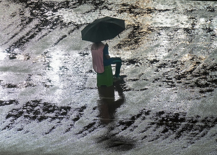
Further west, Konkan and Goa are expected to see fairly widespread to widespread rainfall through August 27, while parts of Maharashtra is likely to remain active.
The forecast therefore points to another active phase, particularly across central, eastern, northeastern and parts of northern India.
But the rainfall map shows why a few days of heavy rain cannot by themselves erase India’s broader deficit as several states still await the monsoon to deliver its share.
– Ends
Source link
[ad_3]

